USGS and the University of Nebraska–Lincoln have released Nebraska’s first-ever statewide map of surface geology, revealing the wind-blown sand, silt and other
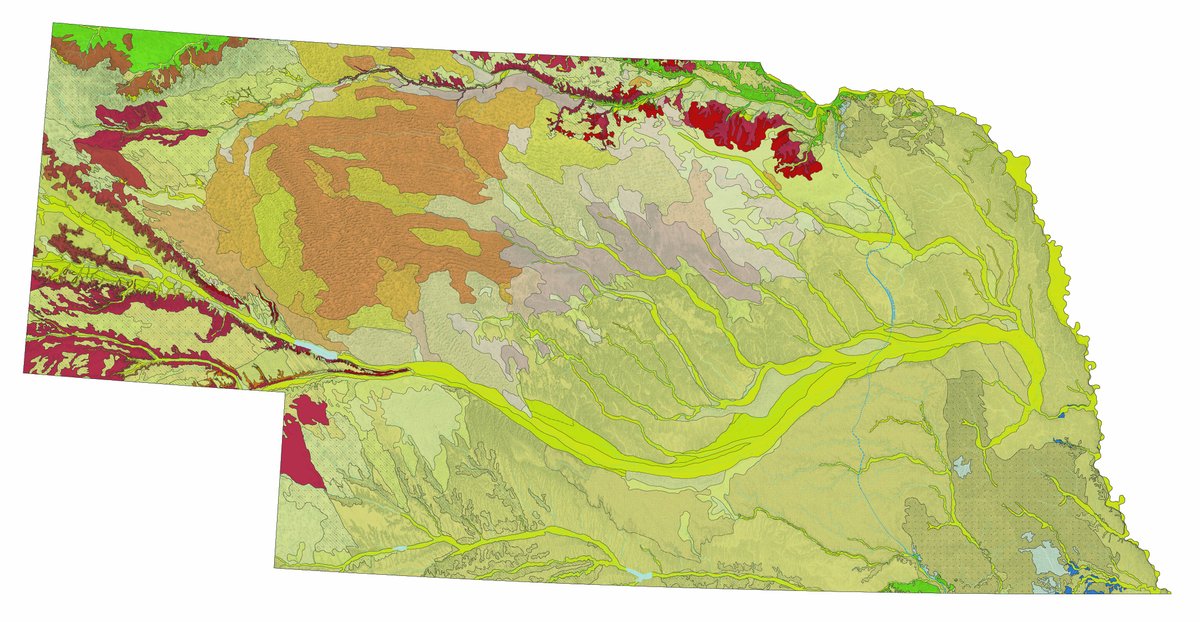
USGS and the University of Nebraska–Lincoln have released Nebraska’s first-ever statewide map of surface geology, revealing the wind-blown sand, silt and other sediments covering more than 75% of the state. The map supports aquifer, habitat, resource and geohazard research.
🔗
Share this article
📚 More from Billy’s World
Banking With Billy News Network — bankingwithbilly.com
Discord: discord.gg/VHxwmR5j4Y •
YouTube: @BankingWithBilly